MATLAB_MAP is a MATLAB library which illustrates the use of MATLAB's mapping toolbox, for drawing maps of the world, various countries, or individual US states.
The computer code and data files described and made available on this web page are distributed under the GNU LGPL license.
MATLAB_MAP is available in a MATLAB version.
CITIES, a MATLAB library which handles various problems associated with a set of "cities" on a map.
CITIES, a dataset directory which contains sets of data defining groups of cities.
FLORIDA_CVT_GEO, MATLAB programs which explore the creation of a centroidal Voronoi Tessellation (CVT) of the state of Florida, based solely on geometric considerations.
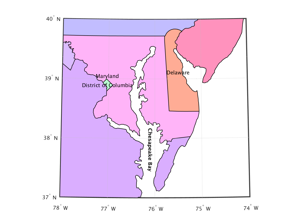
CHESAPEAKE_BAY is an example from the Mapping Toolbox User's Guide, which draws the states around the Chesapeake Bay area.
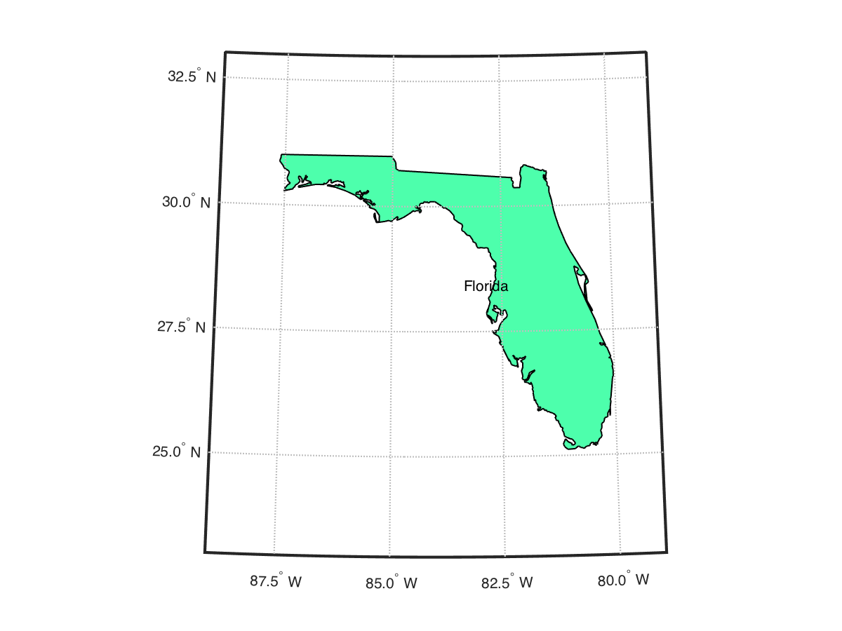
FLORIDA_OUTLINE draws a map of the outline of Florida (no cities, no rivers, no neighboring states).
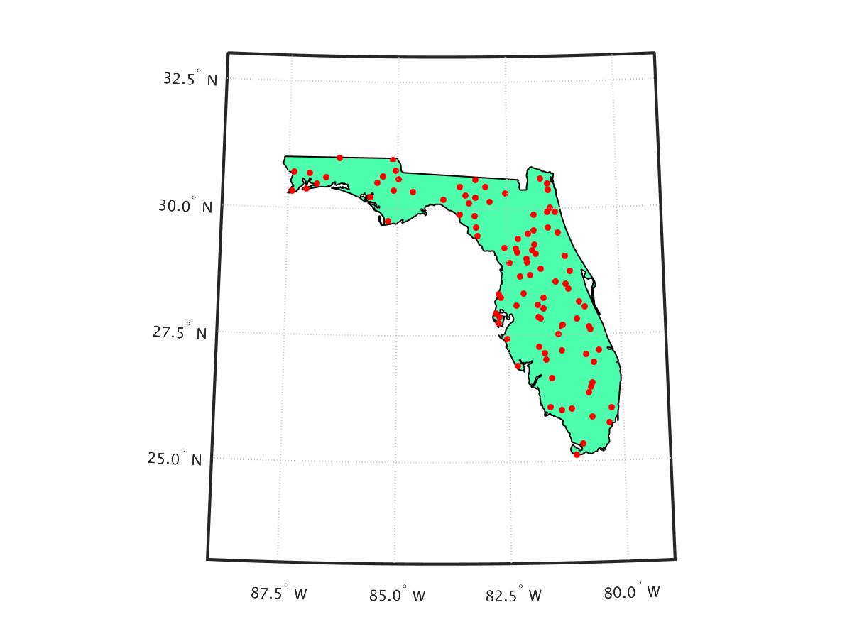
FLORIDA_SAMPLE draws a map of the outline of Florida, and then samples 100 points at random within that outline, using the polygonal representation of the state.
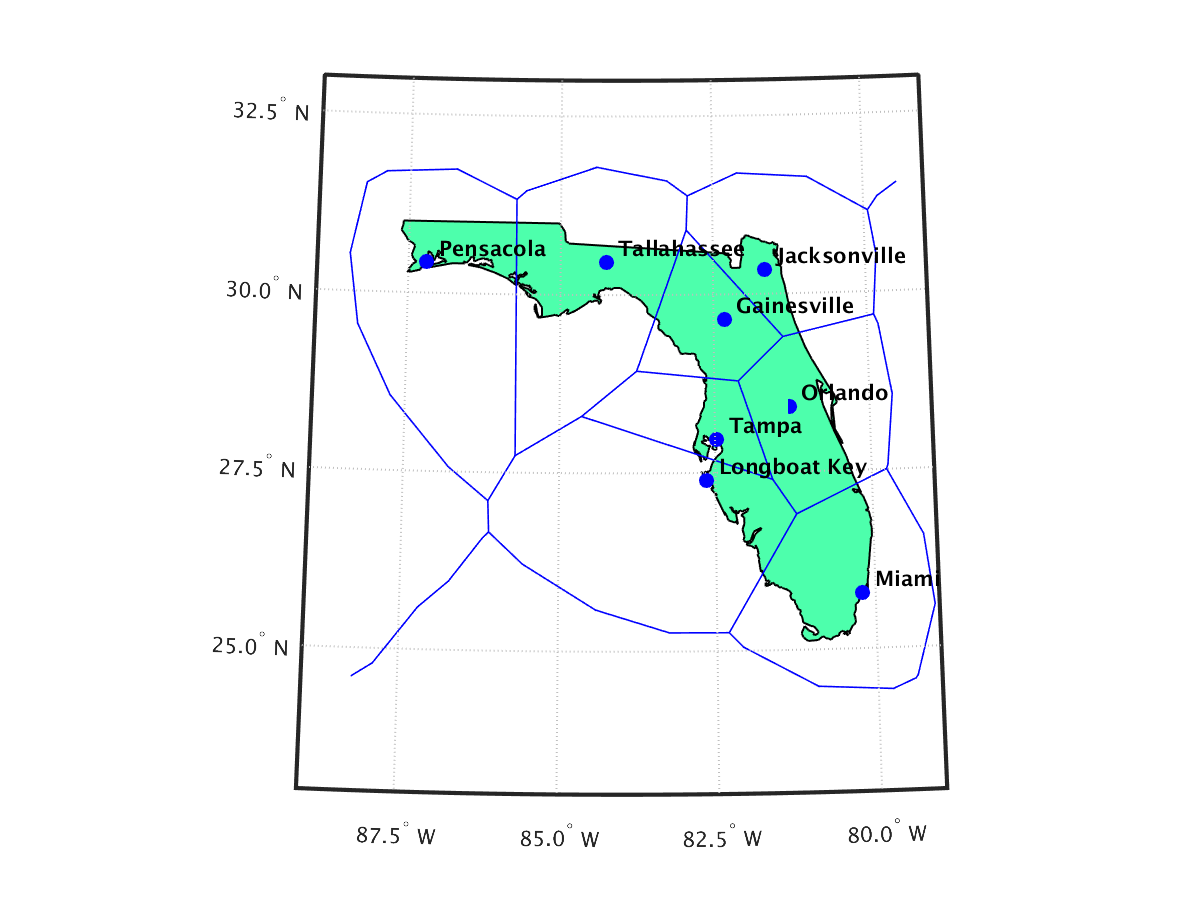
FLORIDA_VORONOI shows how, with a little work, MATLAB's lazy voronoi() command can be tricked into drawing a reasonable Voronoi diagram over a map of Florida created with the Mapping Toolbox.
You can go up one level to the MATLAB source codes.